
In March 2026, the World Bank approved US$240 million in new funding to help Benin protect its vulnerable coastlines from erosion and flooding. This is the largest single investment in West Africa's coastal resilience in a decade, designed to protect 530,000 people and catalyse 13,000 blue economy jobs through the West Africa Coastal Areas (WACA+) programme.
At the same time, the Beninese government announced a US$1.4 billion tourism investment plan for 2025-2029, with the explicit goal of attracting two million visitors annually by 2030 — roughly triple the current international visitor numbers.
Both investments are significant. Both are necessary. And both, according to our original research, are missing something essential: the heritage sites that make Ouidah one of West Africa's most internationally significant cultural destinations.
The Numbers
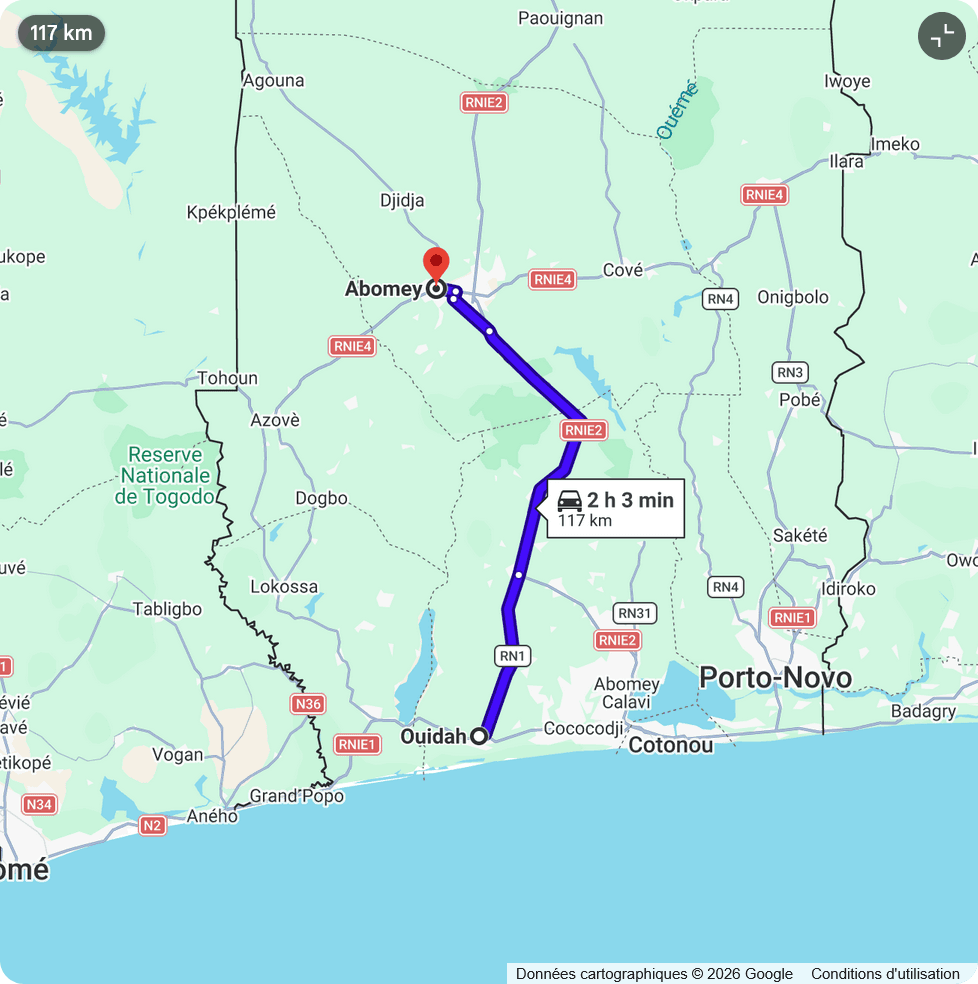
Since the 1980s, the shoreline at Ouidah has retreated by an estimated 600 metres.
The Door of No Return — a 15-metre concrete arch built in 1995 to commemorate the 150th anniversary of the abolition of slavery in France — now stands approximately 100 metres from the high-water line (projected measurement for early 2026). It marks the departure point for over a million enslaved Africans who passed through Ouidah between 1671 and 1865, when the city served as the world's second-largest slave port.
At the current rate of erosion, the monument could be critically compromised within 15 to 25 years. If erosion accelerates toward the upper end of our estimate — 10 metres per year during severe storm seasons — this timeframe could shrink to about a decade.
This is not a projection based on climate models or future scenarios. It is an extrapolation from observed, measured data spanning more than six decades.
The Historical Record
The story of Ouidah's disappearing shoreline can be traced through historical measurements compiled from multiple sources:
The story of Ouidah's disappearing shoreline can be traced through a constant acceleration of retreat:
- 1980 — The Baseline: Start of measured acceleration.
- 1990 — The Groyne Effect (~120m lost): First coastal defense structures installed near Cotonou, disrupting sediment flow.
- 2005 — The Turning Point (~320m lost): Major storm events and launch of the WACA programme.
- 2015 — The Emergency (~480m lost): Emergency sea wall proposed as retreat speeds increase.
- 2023 — The Critical Threshold (~590m lost): The Door of No Return sees the ocean approach dangerously close.
- 2026 — The Current State (~600m lost): World Bank approves $246M (WACA 2) to attempt shoreline stabilization.
The acceleration between 2000 and 2020 coincides with the construction of large-scale coastal defence structures around Cotonou's commercial port. While these structures successfully protected the port and adjacent urban areas, they disrupted the natural southward flow of sediment along the coast — a phenomenon known in coastal engineering as downstream sediment starvation.
The Broader West African Context
Benin's coastal erosion is not an isolated problem. It is part of a regional crisis affecting the entire Gulf of Guinea.
According to a 2024 Digital Earth Africa report using satellite imagery analysis, 65% of Benin's coastline is experiencing a decline of approximately 4 metres per year. This is among the highest rates in West Africa.
By comparison, peer-reviewed research published in the journal Geosciences (2023) found that:
- Senegal averages 2.4 to 3.6 metres per year
- Ghana averages approximately 1 metre per year on the Accra coast, but 2 metres per year on the Keta coast despite upstream defences
- Togo experiences similar rates to Benin, with some segments reaching 8-10 metres per year during extreme storm events
A 2024 study in Ocean & Coastal Management by Enríquez-de-Salamanca mapped coastal erosion hotspots across the region and found that hard coastal defence structures — groynes and sea walls — routinely protect the immediate intervention zone while increasing erosion rates in adjacent, undefended areas. This pattern has been documented from Senegal to Nigeria, and Ouidah is one of its most culturally significant victims.
Heritage Site Risk Mapping
We mapped six major heritage sites in and around Ouidah by their distance from the current shoreline, risk level, and projected time to impact. The methodology combines historical shoreline data, published erosion rates from peer-reviewed studies, and site-by-site assessment based on proximity to existing defence structures.
Here is the vulnerability analysis for Ouidah’s six major heritage sites, ranked by proximity to the shoreline:
- Avlekete Beach (Mami Plage): Active impact. The shoreline is at 0m, damage is currently ongoing.
- Slave Route Terminus: High risk. Located ~75m from the shore, with impact expected within 8 to 15 years.
- Door of No Return: High risk. At ~100m from the high-water line, the monument is threatened within 15 to 25 years.
- Mami Wata Temple: Moderate risk. Situated ~115m out, with projected impact within 15 to 25 years.
- Portuguese Fort & Kpassè Sacred Forest: Currently secure in the short term, located 800m and 1.2km from the shoreline respectively.
The Door of No Return receives an estimated 85,000 visitors annually, including thousands of diaspora pilgrims from Brazil, Haiti, the Caribbean, and the United States. It is a UNESCO-designated memorial and the emotional centre of Ouidah's identity as a city of memory.
It is also the most exposed.
Avlekete Beach — known locally as Mami Plage — is already experiencing active erosion. This is the beach where the Door of No Return stands, and it is also the domain of Mami Wata, one of the most widespread Vodun deities in West Africa and the diaspora (see our guide on spiritual immersion in Ouidah). The Mami-Plage Temple, an active place of worship, sits approximately 120 metres from the current shoreline and is classified at moderate risk within 15-30 years.
Why Existing Defences Are Not Reaching Heritage Sites
The Beninese government has invested significantly in coastal defence over the past decade. The WACA programme, funded by the World Bank, has supported the construction of groynes — stone barriers that interrupt wave energy — and sea walls along sections of the Ouidah-Cotonou corridor. The March 2026 funding package of $240 million is designed to expand these protections.
These interventions have had partial success.
The groynes have stabilised certain segments of the shoreline, particularly around Cotonou's commercial port and beaches immediately adjacent to urban infrastructure. But coastal engineers have long documented an unintended consequence: groynes disrupt the natural southward flow of sediment along the coast, creating what is known as downstream erosion or sediment starvation.
The mechanism is straightforward. Sand naturally moves along the coast in a process called longshore drift, driven by waves approaching at an angle. When a groyne blocks this flow, sand accumulates on the updrift side (the protected side) but is starved on the downdrift side (the unprotected side). The result is that areas downstream of the defence structure experience accelerated erosion.
In Benin's case, the coastal defences around Cotonou's port have protected that zone but increased erosion pressure on Ouidah, which lies to the east — directly in the path of the interrupted sediment flow.
A 2023 systematic review of shoreline change across West Africa, published in Geosciences, found this pattern replicated across the region. Ghana's Keta coast, for example, continues to erode at 2 metres per year despite upstream defence structures. Togo's shoreline shows the same downstream starvation effect.
The Commerce vs Heritage Gap
This is not just an engineering problem. It is a question of priorities.
Benin's coastal defence spending has understandably focused on protecting economic infrastructure: the commercial port of Cotonou, roads, hotels, and residential zones. Cotonou's port handles the vast majority of Benin's imports and exports. Protecting it is a national economic imperative.
But Ouidah's heritage sites are also economic assets — and they are central to the government's own tourism strategy.
Cultural and pilgrimage tourism to Ouidah generates an estimated US$4-6 million annually for the local economy, with peaks during the Vodun Days festival each January, which draws up to 150,000 attendees. The Door of No Return and the Slave Route are the centrepieces of Benin's international tourism branding. When Lagos State officials visited Ouidah in March 2026, they came specifically to study how Benin manages its heritage tourism — a model Nigeria is seeking to replicate.
Yet in the coastal defence plans we reviewed — including the WACA programme documentation — only two of the six heritage sites we mapped are currently included in any government protection zone. The Door of No Return, the Slave Route Terminus, and the Mami Wata Temple — an active Vodun worship site — are not designated as protected coastal infrastructure.
The Human Cost
For the descendants of enslaved Africans who travel to Ouidah, the Door of No Return is not a monument in the conventional sense. It is the physical threshold between the continent their ancestors were taken from and the lives their families built across the Atlantic.
Between 1671 and 1865, Ouidah was the departure point for more than one million enslaved Africans. The 3.5-kilometre Slave Route — from Place Chacha in the city centre, past the Tree of Forgetfulness, through the Zomai enclosure, to the Door — is a UNESCO-designated memorial. Walking this route, and then passing through the arch from the beach side back toward the city, is an act of spiritual reclamation that many diaspora visitors describe as transformative. It is called the "Return of the Children" by those who make the journey.
The monument was designed by Beninese architect Fortuné B. Sossa as an open frame — a doorway with no door, symbolising a wound that has never closed. The bas-reliefs along the arch depict rows of shackled figures walking toward the sea. At the top, sculptures of egrets take flight, representing the souls of those who never returned.
If the Door were to fall into the ocean, that journey would lose its anchor point. And the wound would simply disappear.
Contributing Factors Beyond Erosion
The erosion crisis at Ouidah is driven by multiple overlapping factors:
Sea level rise. Global warming has accelerated sea level rise to approximately 3.6mm per year globally, with regional variations. The Gulf of Guinea is experiencing some of the highest rates on the African continent.
Sand mining. Illegal extraction of sand from beaches for construction is widespread in Benin and directly accelerates shoreline retreat. The practice is particularly intense between Cotonou and Ouidah, where urban expansion drives demand for building materials.
Upstream dam construction. Dams on the Mono River and other waterways have reduced the flow of sediment reaching the coast, starving the natural beach replenishment system.
Coastal development. Infrastructure built along the shoreline — hotels, roads, and residential buildings — disrupts natural sand flow and removes the vegetation that normally stabilises dunes.
Ocean current changes. Shifts in the Guinea Current patterns, potentially linked to broader Atlantic climate changes, have altered wave energy distribution along the Benin coast.
What Needs to Happen
First, Ouidah's heritage sites need to be formally included in the national coastal defence plan as protected infrastructure, with the same level of engineering investment as commercial zones. Targeted groynes and beach nourishment at Avlekete could buy decades of additional time. The new $240 million WACA+ funding is an opportunity to ensure heritage sites are included in the next phase of defence construction.
Second, the erosion data needs to be made publicly accessible and updated in real time. Satellite monitoring using Landsat and Sentinel imagery — which is freely available — can provide near-monthly shoreline assessments. Local universities, particularly the University of Abomey-Calavi, are well positioned to lead this work in partnership with international coastal research organisations.
Third, the international community has a stake. UNESCO has designated the Slave Route as a memorial project, but designation without defence is documentation without protection. International heritage organisations should consider Ouidah's coastal monuments alongside other climate-threatened heritage sites worldwide, from Venice to the archaeological sites of the Pacific.
Fourth, the Beninese government's US$1.4 billion tourism investment plan must include a dedicated line for heritage coastal defense. Protecting the Door of No Return and the Slave Route is not just a cultural imperative — it is an economic one. These sites are the foundation of Benin's international tourism brand, and their loss would directly undermine the government's goal of attracting two million visitors annually (read more about the political context of these investments).
The Data Is Public
We are making our full dataset — including methodology, sources, and downloadable tables — freely available for academic, journalistic, and governmental use. The data underlying this article can be accessed through Ouidah Origins, and we welcome peer review, correction, and collaboration.
The ocean does not distinguish between the memory of the past and the reality of the present. But the people of Benin — and the millions of descendants of the enslaved who visit Ouidah each year — have a right to expect that the country's heritage will be defended with the same urgency as its commercial infrastructure.
The Door of No Return was built to ensure that a wound would never close. It should not be allowed to disappear into the sea.
Restitution 2.0
Ouidah Origins is more than a travel resource; it is an infrastructure for memory. Read our manifesto on why we believe the Slave Route is not a tourist attraction.
Read the ManifestoSources
- World Bank, "Safeguarding Coasts, Driving Jobs: WACA+ to Protect 530,000 People," Press Release, March 18, 2026. worldbank.org
- Digital Earth Africa, "Cost to Coasts: Coastal Erosion in West Africa," Insight Report, 2024. digitalearthafrica.org
- Enríquez-de-Salamanca, "Climate change and coastal erosion hotspots in West Africa," Ocean & Coastal Management, 2024. sciencedirect.com
- Appeaning Addo et al., "Shoreline Change and Coastal Erosion in West Africa: A Systematic Review," Geosciences, vol. 13, no. 2, 2023. mdpi.com
- Government of Benin, Tourism Investment Plan 2025-2029 (announced June 2025).
- UNESCO Slave Route Project. en.unesco.org/slave-route
- Africanews, "Benin struggles to halt coastal erosion despite spending millions," November 15, 2023. africanews.com
- Mongabay, "West and Central Africa tackle coastal erosion," December 16, 2025. news.mongabay.com
This article is part of Ouidah Origins' ongoing research programme documenting the cultural heritage of Ouidah, Benin. Our work is freely available for academic and journalistic use with attribution.