The Digital Heritage
Vodun heritage • Benin • memory archives
Ouidah at a glance
- Where: a commune of the Atlantique department, on the coast of south-west Benin, about thirty kilometres from Cotonou. It covers 364 km², between the Atlantic Ocean to the south, Abomey-Calavi to the east, Grand-Popo to the west, and Kpomassè and Tori-Bossito to the north.
- How many people: 162,034 at the 2013 census, in ten arrondissements. The four arrondissements of the town (Ouidah I to IV) have 47,616; Pahou, the most populous, 78,474.
- The name: “Ouidah” is a distortion of “Xwéda”, the name the Fon of Abomey gave the territory's first inhabitants. King Agadja conquered the Xwéda kingdom of Savi and made Ouidah his seaboard in 1727.
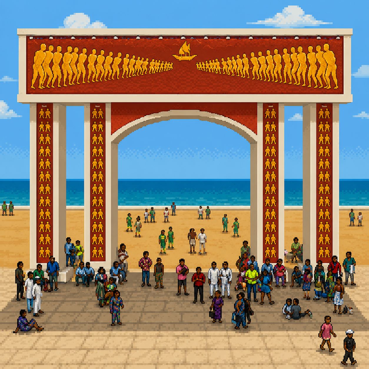
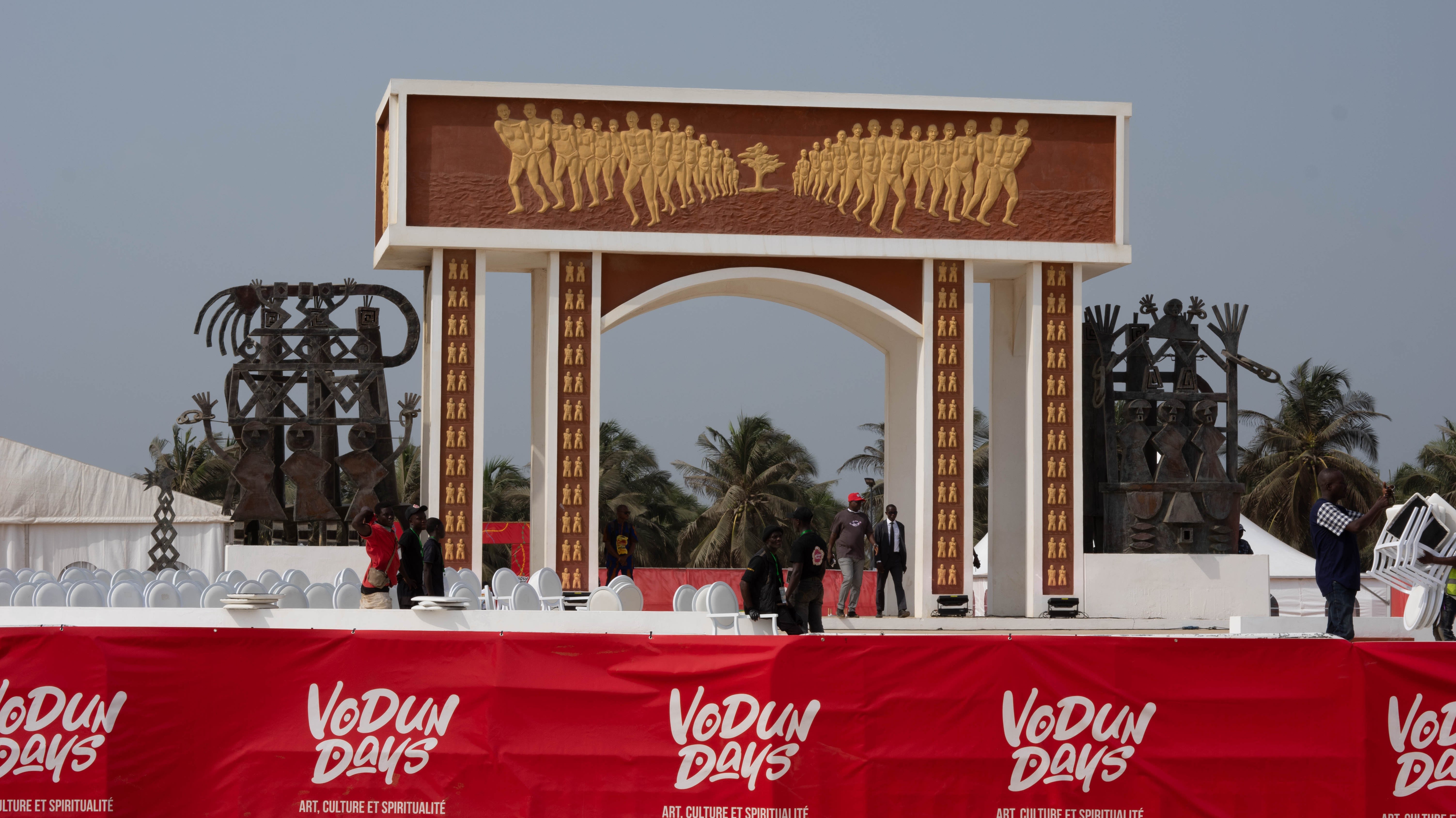
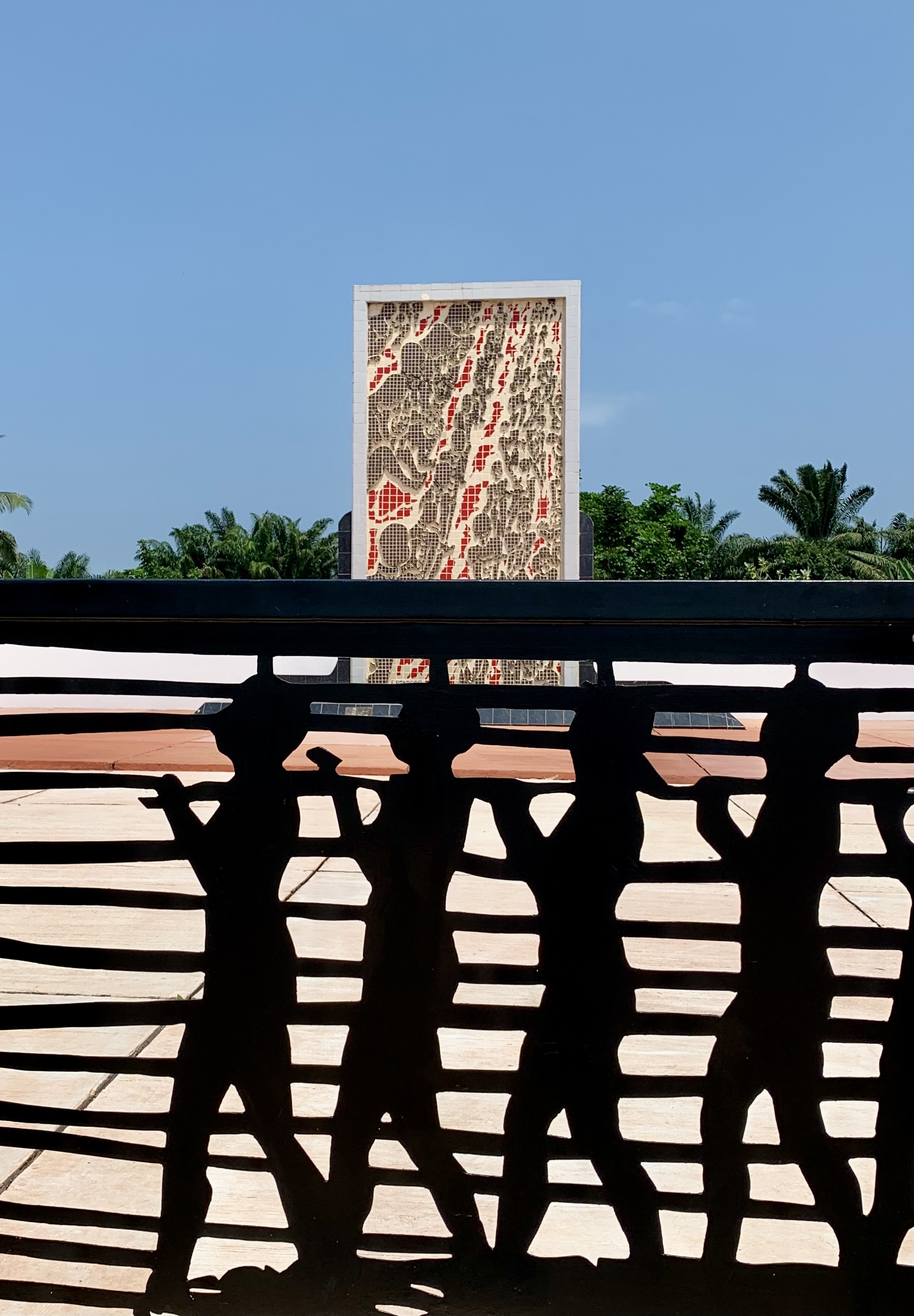
- Memory: the Slave Route, a walk of about 3 km, runs from the Auction Square to the Door of No Return on the beach.
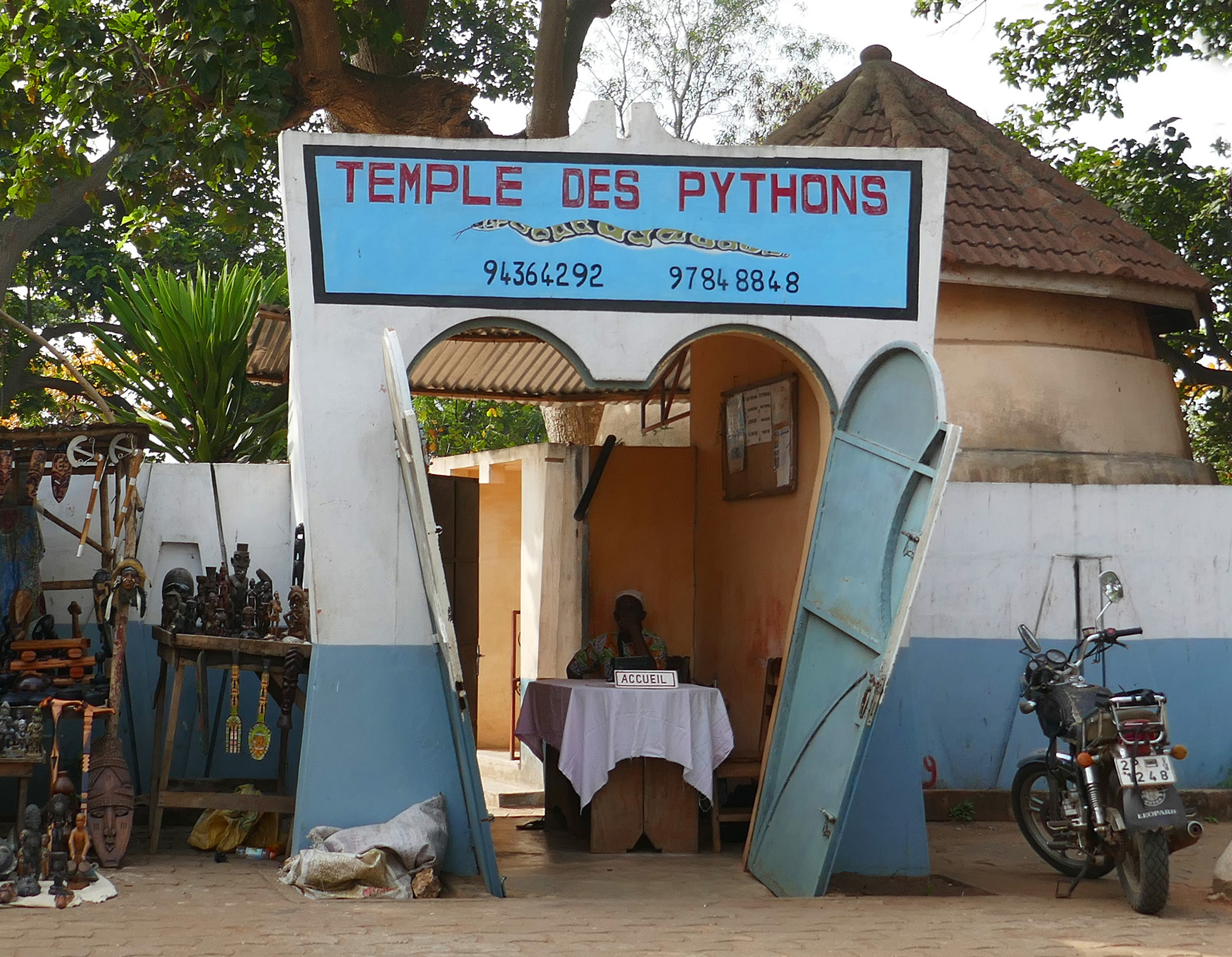
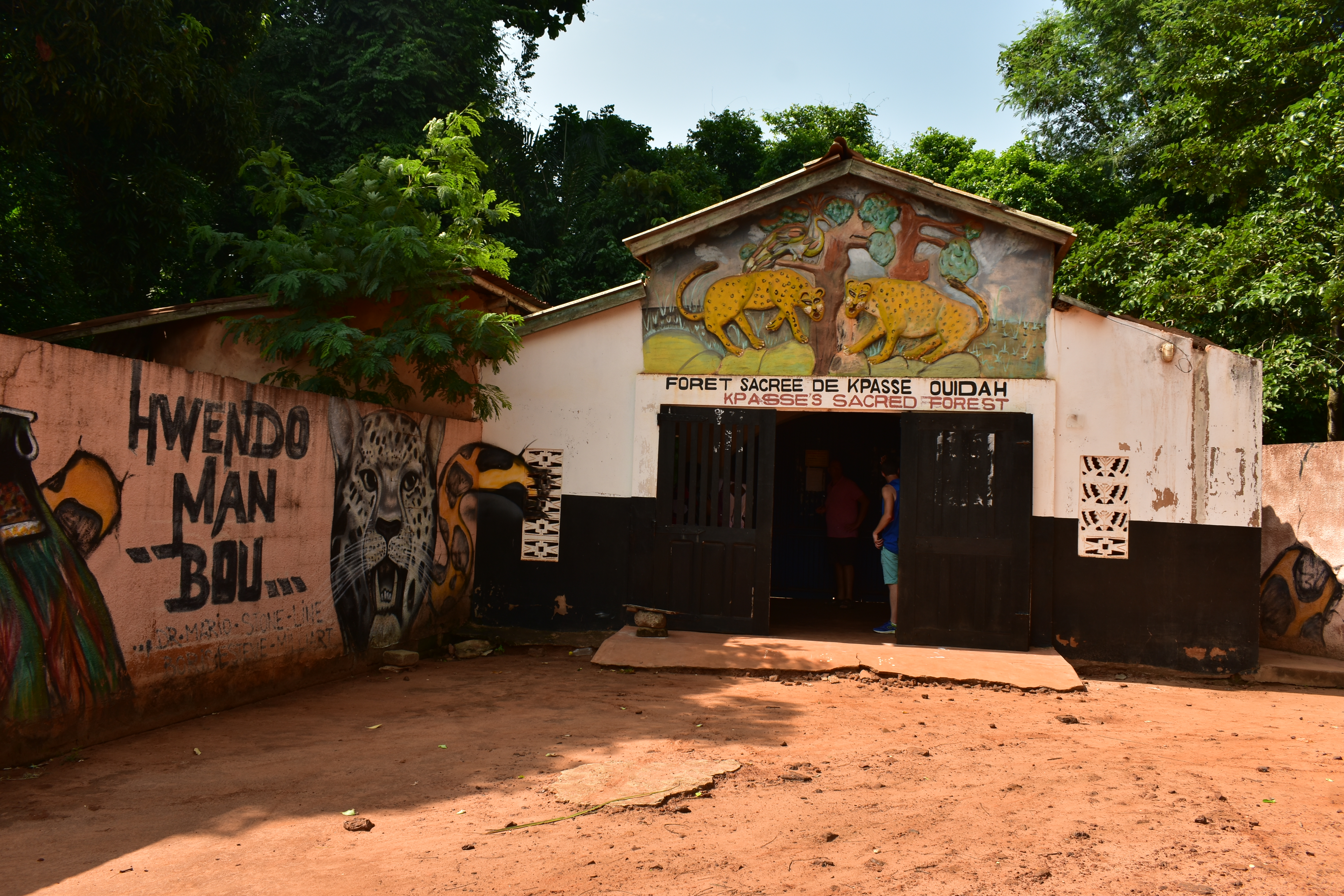
Go further: the Slave Route, the Door of No Return, the Python Temple, the sacred forest of Kpassè, the Daagbo Hounon.
Sources: Government of Benin, Destination Bénin: Ouidah (10 December 2020) ; INSAE, RGPH-4 village booklet, Atlantique (2016)
“We do not stage the sacred. We cite our sources, we name our authors, and we accept corrections.”
Read the manifesto →One long text, one archive read, nothing else. One send a month.
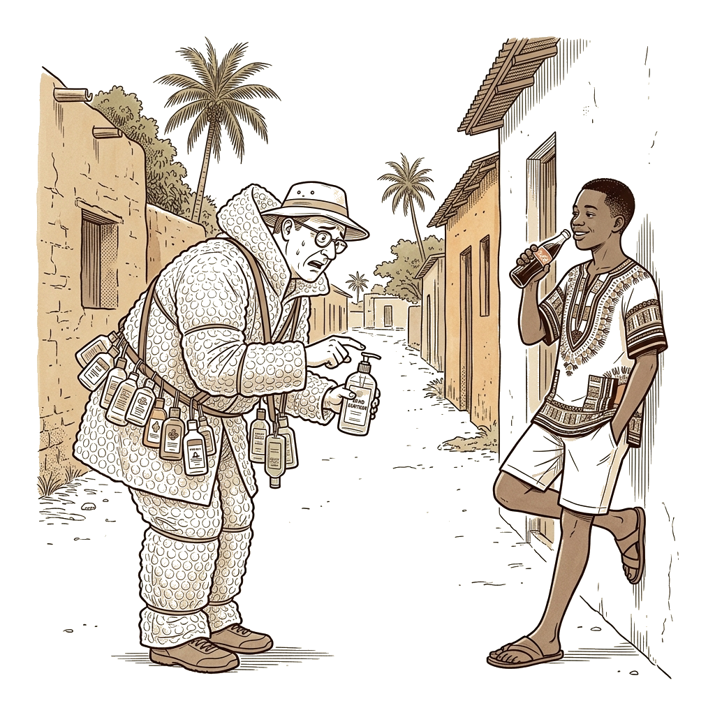
Your first trip to Benin: the complete guide to Ouidah and beyond
Benin is not on most travellers' radar. For those drawn by history, Vodun spirituality, or the call of the Slave Route, Ouidah delivers something most destinations cannot. This guide covers everything you need for a first visit.
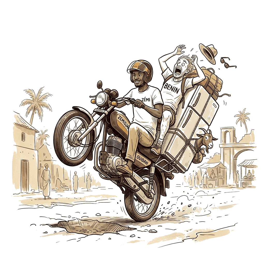
How to get to Ouidah: complete transport guide
Ouidah is 45 km west of Cotonou. Here is every transport option — private taxi, Gozem, shared bush taxi, and zémidjan — with honest prices and journey times for 2026.
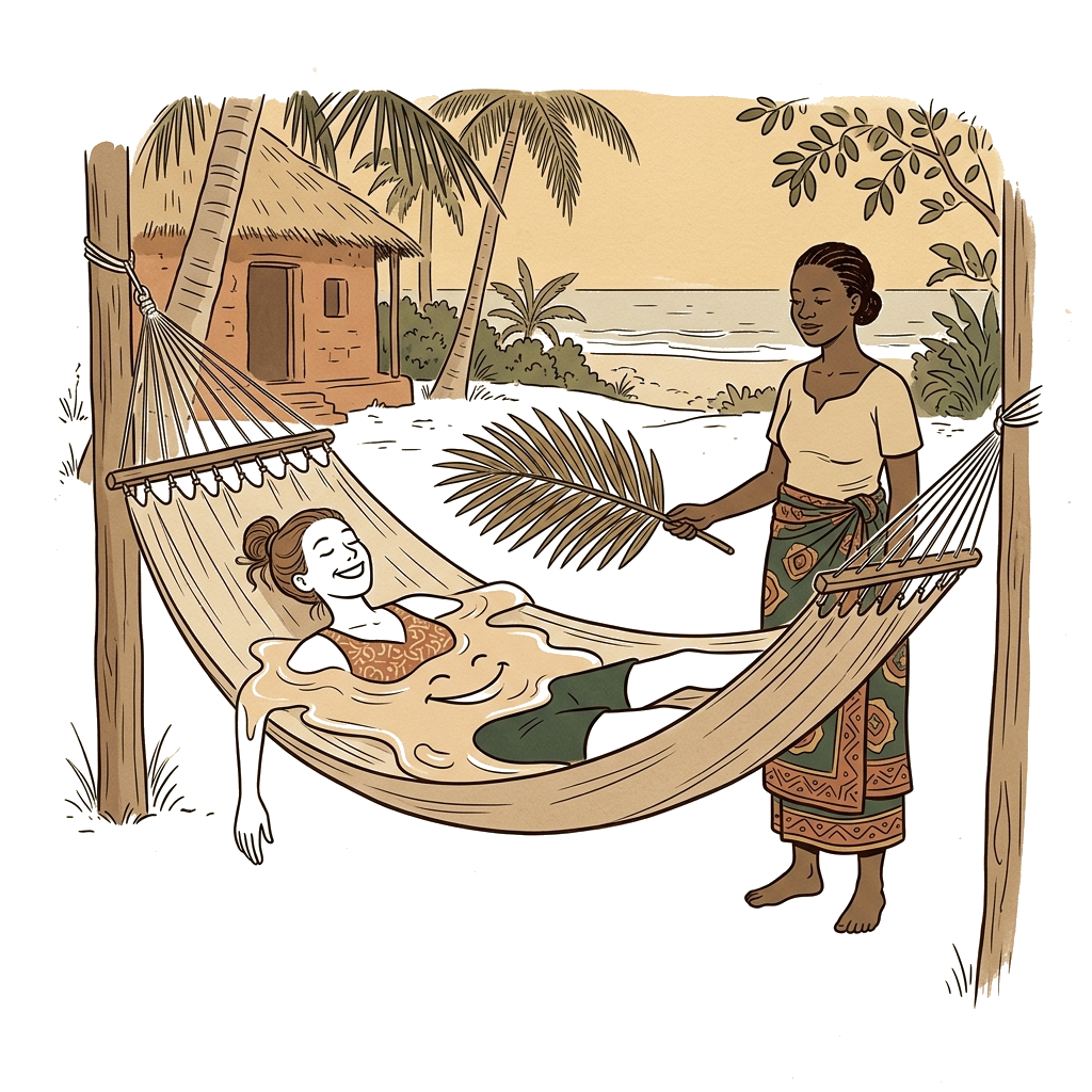
Where to sleep in Ouidah
Choosing where to sleep in Ouidah is not just about logistics; it's an editorial decision that shapes your experience of this historic city.
the story has been told to you.
Ouidah Origins is an independent digital initiative dedicated to documenting heritage. This project is not affiliated with any official governmental or religious body.